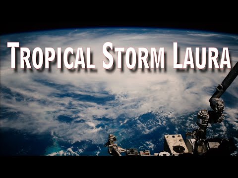
An animation of satellite observations from Oct. 21-30, 2012, shows the birth of Tropical Storm Sandy in the Caribbean Sea, the intensification and movement of Sandy in the Atlantic Ocean along the U.S. East Coast, and the landfall of Hurricane Sandy in New Jersey on Oct. 29. This visualization was created by the NASA GOES Project at NASA Goddard Space Flight Center, Greenbelt, Md., using observations from NOAA’s GOES-13 and GOES-15 satellites.
Satellite Sees Global View of Sandy’s Life to Landfall

Comments
3 responses to “Satellite Sees Global View of Sandy’s Life to Landfall”
-
🧕☝️يارب،ب0ها،اطباح،رب،افتحا،رجعلي،حقي،وارجعلي،المنديا،ياربي،
-
ياربي،رني،مخذيتش،حقي،كما،اعباد،كلام،نكتفيها،مش،في،وعي،ا
-
In science we are leaning about space


Leave a Reply