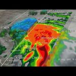
We worked with our partner agencies to use space-based assets to capture imagery of Hurricane Harvey that impacted the Texas-Louisiana Gulf Coast region. Imagery captured from the vantage point of space, provides data that weather forecasters, emergency responders and other officials can use to better inform the public. Views from the International Space Station, and NOAA’s GOES East satellite showed the massive size and movement of the storm. While our Global Precipitation Measurement (GPM) Mission analyzed the storm’s record-breaking rainfall – which led to catastrophic flooding in Texas and Louisiana. Due to the storm, our Johnson Space Center in Houston is closed through Labor Day, while the region recovers, but Mission Control remains operational in support of the crew aboard the International Space Station. Also, Final RS-25 Engine Test of the Summer, Key SLS Rocket Hardware Finished, and Researching Quiet Supersonic Flight!
This video is available for download from NASA’s Image and Video Library: https://images.nasa.gov/#/details-NHQ_2017_0901_Catastrophic%20Storm%20Seen%20from%20Space%20on%20This%20Week%20@NASA%20%E2%80%93%20September%201,%202017.html
Similar Posts:
-
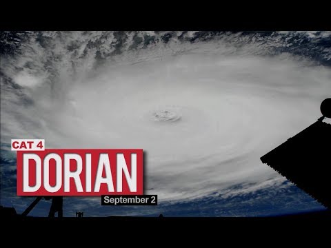
Views of Hurricane Dorian from the International Space Station – September 2, 2019 -
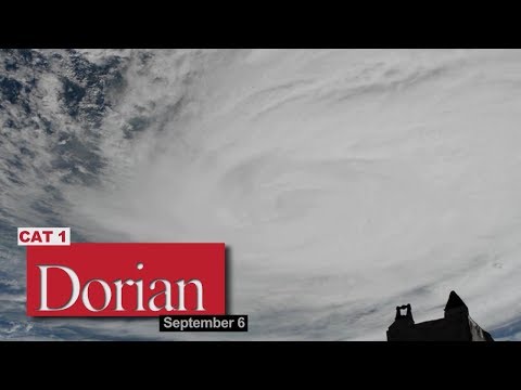
Views of Hurricane Dorian from the International Space Station – September 6, 2019 -
Space Station Camera Captures New Views of Hurricane Harvey -
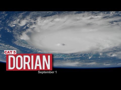
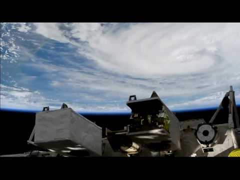
Views of Hurricane Dorian from the International Space Station – September 1, 2019
Leave a Reply