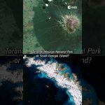
Chiara’s favourite satellite image is a rare (and almost cloud-free) view of the remote Elephant Island, in Antarctica.
This Copernicus Sentinel-2 image was captured a year ago and the full image has a 10 m resolution!
Do you agree with Chiara’s choice?
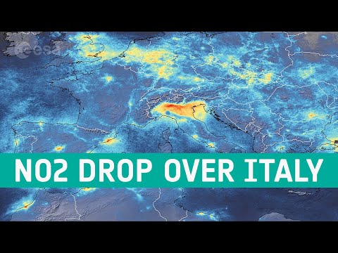
📸 Italy, South Georgia Island, Elephant Island: contains modified Copernicus Sentinel data (2016, 2018, 2023), processed by ESA, Creative Commons BY-SA 3.0 IGO.
📸Namib Desert, Taranaki: KARI / ESA
#ESA #Satellite #EarthFromSpace


Leave a Reply