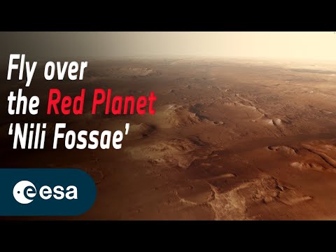
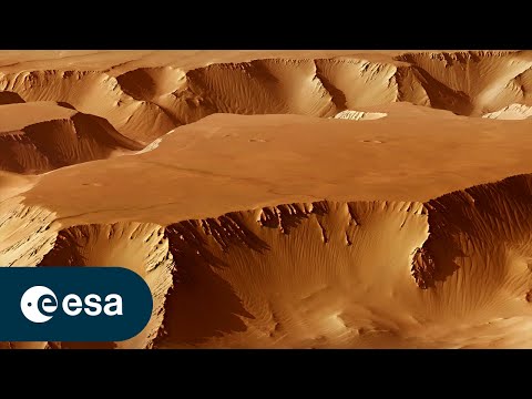
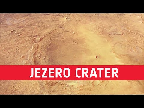
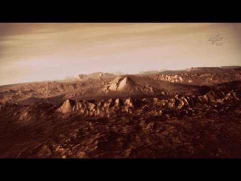
3D visualization of the Mars surface based on Mars-Express HRSC data and Mars Observer Camera and Mars Orbiter Laser Altimeter data.
3D-Visualisierung des Mars von 3D RealityMaps.
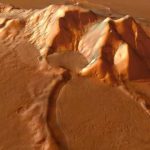
3D visualization of the Mars surface based on Mars-Express HRSC data and Mars Observer Camera and Mars Orbiter Laser Altimeter data.
3D-Visualisierung des Mars von 3D RealityMaps.
Nada nuevo en Marte no existió vida y no hay condiciones para vivir los humanos pajarillo cretina
Nasa take big water tank up to Mars and put on some swamps to see what will happen
Very liked me this lovely video❤big thumb up
Water, water every place but not a drop to drink…. Frozen into ice at the poles, and very likely, underground as well. Obviously, there were "oceans" of surface water once upon a time… Unlike air, water seeps and moves underground… where it would now lay frozen. It is easy enough to imagine a Mars filled with highways and industry, a hundred years or so, after humans arrive there.
amazing mars view from space
Super vedeo Dakujem
Incroyable ! Magnifique ! Et des nuages ? 👍
Look so nice similar with Cadburry Chocolate
Leave a Reply